 Catalogues des Parcs Nationaux
dataset
Type of resources
Available actions
Topics
INSPIRE themes
Keywords
Contact for the resource
Provided by
Years
Formats
Representation types
Update frequencies
status
Service types
Scale
Resolution
-
!!le résumé de la fiche !!
-

Ensemble des lignes de lecture du PNE. SOURCE : Olivier SENN, relevés des 2 extrémités au GPS en 2008. 2017-01-23 - MAJ avec ajout de la ligne 132 (Le Lauzet)
-

Localisation des maisons du parc et des centres d'information
-
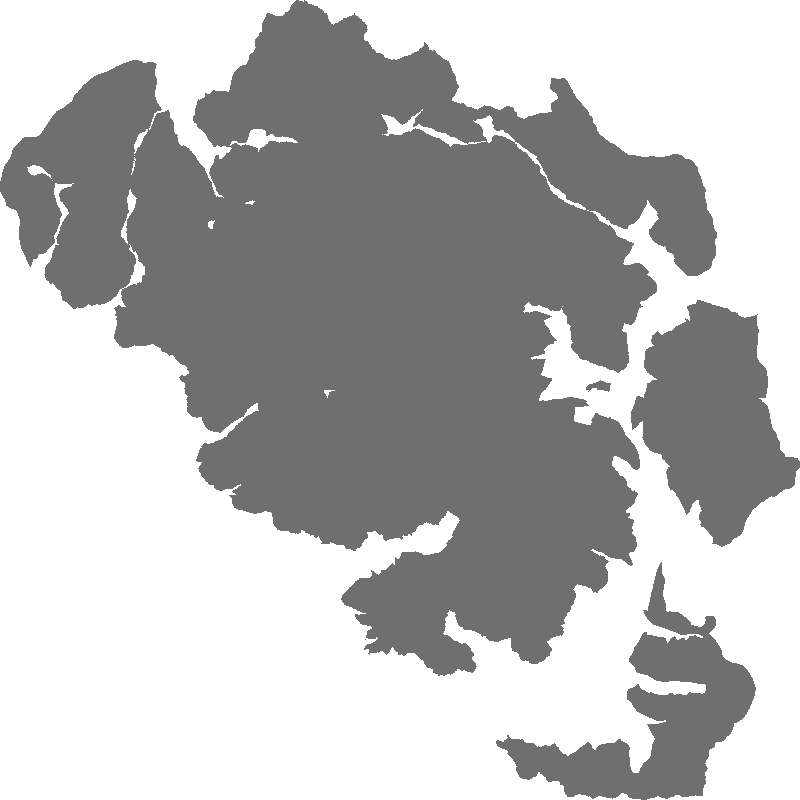
Limite de l'aire d'adhésion du Parc national des Ecrins
-
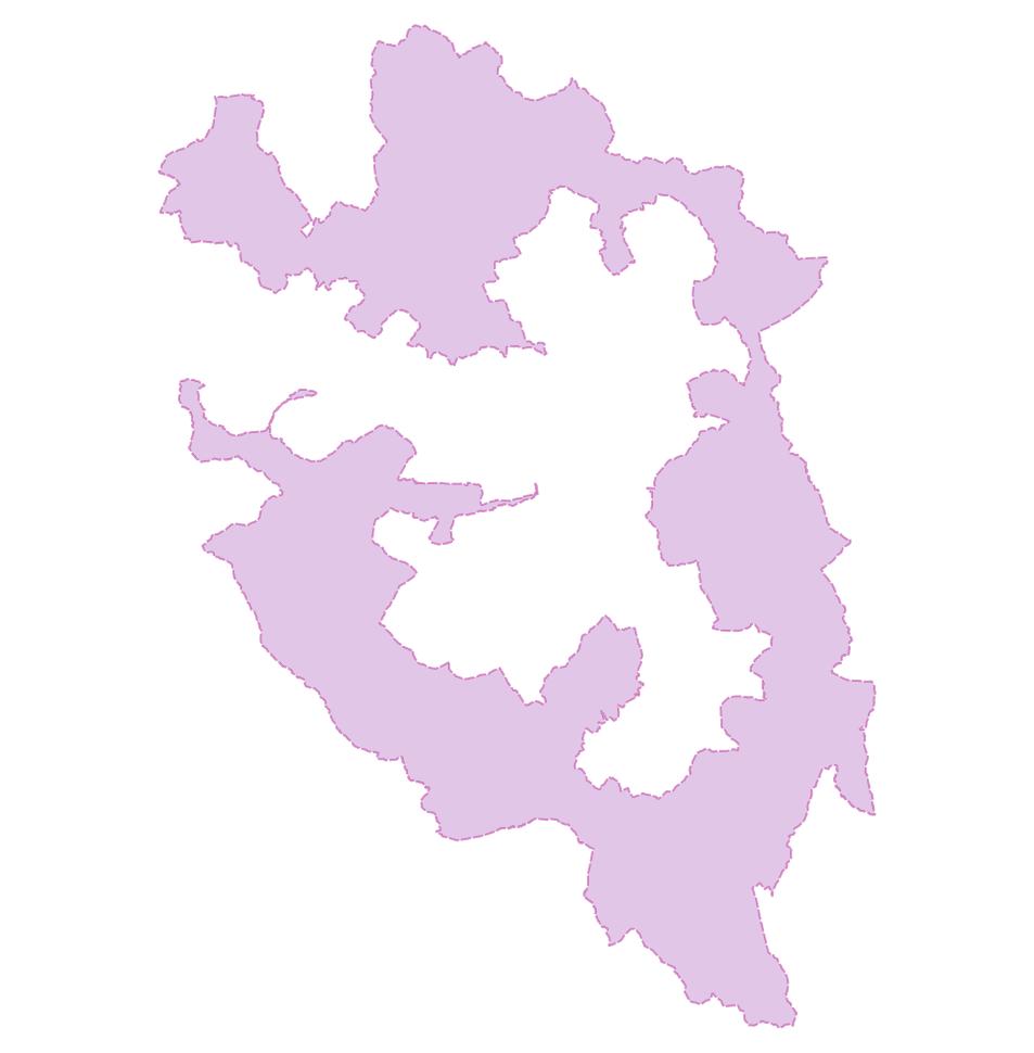
Limite du territoire du Parc national des Ecrins suite à l'adhésion des communes en 2013 Couche générée par fusion des deux couches : PNE_coeur + PNE_aa
-
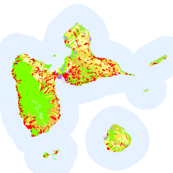
La base de données géographique CORINE Land Cover (CLC) est un inventaire biophysique de l'occupation des terres. Il est produit dans le cadre du programme européen d'observation de la terre Copernicus (39 États européens). Données de référence, CORINE Land Cover est issue de l'interprétation visuelle d'images satellitaires et est disponible pour les années suivantes : 1990, 2000, 2006, 2012 et 2018. Ces bases d'état sont accompagnées par les bases des changements 1990-2000, 2000-2006 et 2006-2012 (données sur les portions du territoire ayant changé d'occupation des sols).
-
Couche issue du traitement DELPHINE par le CBNA pour définir l'habitat dominant de chaque polygone. Se reporter au document "Métadonnées habitats.doc" du CBNA pour la description fine. Voir la synthèse sur http://www.ecrins-parcnational.fr/breve/latlas-delphine-est-en-ligne Inventaire terrain réalisé entre 1995 et 2003.
-

Mountain lakes are often situated in protected natural areas, a feature that leads to their role as sentinels of global environmental change. The data contain modelling of bathymetry measured for GIS (Shape) in Lake Muzelle in the Massif des Ecrins (WGS84). LTER - ZA - RZA Zone Atelier Alpes ZAA
-
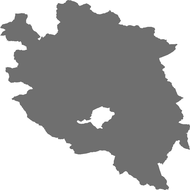
Compilation de différentes couches. Les sites retenus sont considérés comme site de référence dans les activités du parc national.
-
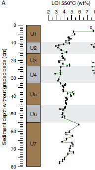
Local glacial fluctuations and flood occurrences were investigated in the sediment sequence of proglacial Lake Muzelle. The sample covers the period from 303 to 2012. Loss On Ignition (LOI) 2017 Based on geochemical analysis and organic matter content established using loss on ignition and reflectance spectroscopy, we identified six periods of increased glacial activity over the last 1700 yr. Each is in accordance with records from reference glaciers in the Alps. A total of 255 graded layers were identified and interpreted as flood deposits. Most of these occurred during glacial advances such as the Little Ice Age period and exhibit thicker deposits characterized by an increase in the fine grain-size fraction. Fine sediment produced by glacial activity is transported to the proglacial lake during heavy rainfall events. The excess of glacial flour during these periods seems to increase the watershed's tendency to produce flood deposits in the lake sediment, suggesting a strong influence of the glacier on flood reconstruction records. Thus, both flood frequency and intensity, which is estimated based on layer thickness as a proxy, cannot be used in reconstruction of past extreme events because of their variability. There is a need to take into account changes in sediment supply in proglacial areas that could preclude satisfactory interpretation of floods in terms of past climate variability. Glacial fluctuations Glacial focal spot LTER - ZA - RZA Zone Atelier Alpes ZAA