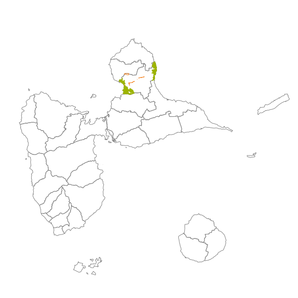
Plan Local d'Urbanisme de PETIT-CANAL - Prescriptions surfaciques
Les prescriptions d'un document d'urbanisme sont définies dans l'article R123-11 du code de l'urbanisme. Une prescription se présente sous la forme d'une information surfacique, linéaire ou ponctuelle qui apparait sur les documents graphiques du PLU. Une prescription qui se superpose à une zone du document d'urbanisme exerce en général une contrainte supplémentaire au règlement de la zone.
Simple
- Date ( Revision )
- 2021-03-03T17:04:11
- Date ( Publication )
- 2017-02-19
- Date ( Revision )
- 2018-03-18
- GEMET - INSPIRE themes, version 1.0 ( Theme )
-
-
Usage des sols
-
- GEMET - Concepts, version 2.4 ( Theme )
-
-
document d'urbanisme
-
- Keywords ( Theme )
-
-
Planification/Cadastre
-
- Keywords ( Theme )
-
-
PLU
-
- Keywords ( Theme )
-
-
Plan local d'urbanisme
-
- OPENDATA ( Theme )
-
-
données ouvertes
-
- Communes de France ( Place )
-
-
PETIT-CANAL (97119)
-
- theme.prodige.rdf ( Theme )
-
-
Grand Public
-
URBANISME
-
PETIT-CANAL
-
- theme.prodige.rdf ( Theme )
-
-
Grand Public
-
URBANISME
-
OCCUPATION DU SOL
-
SERVITUDES
-
PETIT-CANAL
-
- Keywords
-
- Use limitation
-
Aucune condition ne s’applique
- Access constraints
- Other restrictions
- Use constraints
- License
- Other constraints
-
Pas de restriction d'accès au public selon INSPIRE
- Use limitation
-
Aucune condition ne s’applique
- Spatial representation type
- Vector
- Denominator
- 5000
- Metadata language
-
fre
- Topic category
-
- Planning cadastre
))
- Begin date
- 2018-03-20
- End date
- 2028-03-20
- Distribution format
-
-
ESRI Shapefile
(1.0
)
-
- OnLine resource
-
plu_97119_prescriptions
(
OGC:WMS-1.1.1-http-get-map
)
- OnLine resource
-
plu_97119_prescriptions
(
OGC:WFS-1.0.0-http-get-capabilities
)
- OnLine resource
-
https://catalogue.karugeo.fr/geosource/panierDownloadFrontalParametrage?LAYERIDTS=19712249
(
WWW:DOWNLOAD-1.0-http--download
)
- OnLine resource
-
Téléchargement direct des données
(
WWW:LINK-1.0-http--link
)
- Hierarchy level
- Dataset
Conformance result
- Date ( Publication )
- 2013-09-28
- Explanation
-
cf. la spécification citée
- Pass
- Yes
- Statement
-
Document d’urbanisme numérisé conforme aux prescriptions nationales du CNIG du 19 avril 2013.
Le PLU de Petit-Canal à été approuvé le 22 février 2017 par délibération du Conseil Municipal n° BM/CBC/2017-02-02-12 et opposable depuis le 5 avril 2017.
Le document à fait l'objet d'une modification simplifiée par délibération du Conseil Municipal n° BM/HP/2018/03-03-2017 le 22 mars 2018 du fait d'une erreur matérielle.
Le jeu de donnée au format CNIG est conforme aux préconisations CNIG mais n'a pas fait l'objet d'un contrôle qualité par ma Plate-forme.
- Feature catalogue citation
- File identifier
- de52ff7d-a02f-4423-a443-14679e72943b XML
- Metadata language
- fr
- Character set
- UTF8
- Hierarchy level
- Dataset
- Hierarchy level name
-
Série de données
- Date stamp
- 2021-03-03T17:19:34
- Metadata standard name
-
ISO 19115:2003/19139
- Metadata standard version
-
1.0
Overviews
Spatial extent
Provided by