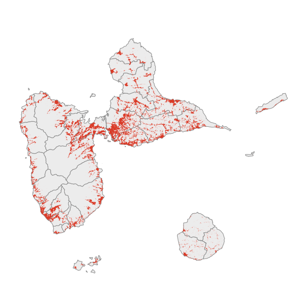
Tâche Urbaine millésime 2013 - Guadeloupe
Ce fichier est la représentation des taches urbaines en 2013 calculées par la DREAL à laquelle est rajoutée une occupation de type "espaces artificialisés".
Simple
- Date ( Revision )
- 2018-06-04T20:28:10
- Date ( Creation )
- 2016-10-05
- Keywords ( Theme )
-
-
occupation du sol; taches urbaines;espaces artificialisés
-
- GEMET inspire themes - version 1.0 ( Theme )
-
-
Occupation des terres
-
- Keywords
-
- Keywords
-
- theme.prodige.rdf ( Theme )
-
-
DAAF
-
DEAL
-
Grand Public
-
OCCUPATION DU SOL
-
URBANISME
-
- Use limitation
-
Utilisation libre sous réserve de mentionner la source (a minima le nom du producteur) et la date de sa dernière mise à jour.
- Access constraints
- Other restrictions
- Other constraints
-
Pas de restriction d’accès publique
- Spatial representation type
- Vector
- Denominator
- 25000
- Metadata language
-
fre
- Character set
- UTF8
- Topic category
-
- Planning cadastre
- Structure
))
- Reference system identifier
-
EPSG
/WGS84 UTM20
/7.4
- Reference system identifier
-
INSPIRE RS registry
/grégorien
- Distribution format
-
-
ESRI Shapefile
(4.5
)
-
- OnLine resource
-
https://catalogue.karugeo.fr/
(
WWW:LINK-1.0-http--link
)
- OnLine resource
-
tache_urbaine_2013
(
OGC:WMS-1.1.1-http-get-map
)
- OnLine resource
-
tache_urbaine_2013
(
OGC:WFS-1.0.0-http-get-capabilities
)
- OnLine resource
-
https://catalogue.karugeo.fr/geosource/panierDownloadFrontalParametrage?LAYERIDTS=1966381
(
WWW:DOWNLOAD-1.0-http--download
)
- OnLine resource
-
Téléchargement direct des données
(
WWW:LINK-1.0-http--link
)
- Hierarchy level
- Dataset
Conformance result
- Date ( Publication )
- 2006-12-25T00:00:00
- Explanation
-
cf.Spécification cité ci-dessus
- Pass
- Yes
- Statement
-
Ce fichier contient les géométries du fichier Tache Urbaine de la DREAL caractérisant les espaces urbanisés en Guadeloupe (millésime 2013).Chaque objet a été catégorisé dans la thématique d'occupation suivante : "Espaces artificialisés".
- Feature catalogue citation
- Feature catalogue citation
- Feature catalogue citation
- File identifier
- 85892bff-4eed-47c9-aed8-0dcffeca4435 XML
- Metadata language
-
fre
- Character set
- UTF8
- Hierarchy level
- Dataset
- Hierarchy level name
-
Série de données
- Date stamp
- 2018-09-05T18:21:21
- Metadata standard name
-
ISO 19115:2003/19139
- Metadata standard version
-
1.0
Overviews


Spatial extent
Provided by