SCAN 100®
Le produit SCAN 100® version 2 est une collection d'images numériques en couleurs, obtenues par rasterisation des données vecteur servant à la réalisation des cartes de la série au 1:100,000ième de l'IGN. Le produit SCAN 100® version 2 se compose d'images numériques sans habillage ni surcharge et d'indications de géoréférencement.
Simple
- Alternate title
-
SCAN 100®
- Date ( Revision )
- 2018-04-24T16:34:53
- Date ( Publication )
- 2009-06-10
- Edition
-
2.0
- Name
-
DC_SCAN100_2.pdf
- Issue identification
-
Descriptif de contenu
- Purpose
-
Le produit SCAN 100® version 2 est une collection d'images numériques géoréférencées, immédiatement et simplement utilisables pour localiser des informations, représenter et habiller des données géoréférencées.
- Status
- On going
Institut Géographique National (IGN-F)
IGN - Service Clients
,73 avenue de Paris
,SAINT-MANDE cedex
,94165
,FRANCE
- Maintenance and update frequency
- Irregular
- Maintenance note
-
Mise à jour tous les 2 ans
- Keywords ( Theme )
-
-
géographie
-
occupation des terres
-
environnement urbain
-
unités administratives
-
énergie
-
ressources
-
hydrographie
-
bâtiments
-
industrie
-
politique environnementale
-
transport
-
service public
-
altitude
-
- GEMET - INSPIRE themes, version 1.0 ( Theme )
-
-
Occupation des terres
-
- Keywords
-
- Keywords
-
- Keywords
-
- Keywords
-
- Specific usage
-
Echelles d'affichage
- User determined limitations
-
Echelles comprises entre le 1:50,000ième et le 1:200,000ième
- Keywords
-
- Keywords
-
- Use limitation
-
Base de données soumise aux conditions générales d'utilisation des fichiers IGN
- Access constraints
- License
- Use constraints
- License
- Use limitation
-
Aucune contrainte
- Classification
- Unclassified
- Spatial representation type
- Grid
- Denominator
- 100000
- Metadata language
- fr
- Topic category
-
- Imagery base maps earth cover
- Description
-
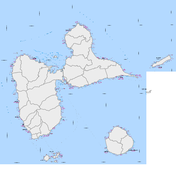
France métropolitaine
- Geographic identifier
-
FXX
- Date ( Publication )
- 1974
))
- Supplemental Information
-
none
- Reference system identifier
-
urn:ogc:def:crs:IGNF:1.1
/WGS 84 / UTM 20 N (EPSG:32620)
- Reference system identifier
-
EPSG
/WGS84 / Simple Mercator (EPSG:41001)
/
Spatial representation info
- Distribution format
-
-
TIF
(6.0
) -
ECW
(1.0
) -
TFW
(1.0
) -
TAB
(4.5
) -
GXT
(5.0
)
-
Distributor
Institut Géographique National (IGN-F)
IGN - DC
,73 avenue de Paris
,SAINT-MANDE cedex
,94165
,FRANCE
- Fees
-
Voir catalogue des prix IGN
- Ordering instructions
-
Voir site internet www.ign.fr
- Units of distribution
-
Dalle de 2500 kilomètres carrés
- Transfer size
- 25
- OnLine resource
- http://www.ign.fr/
- OnLine resource
- http://www.geoportail.fr/
- OnLine resource
-
donneesSCAN100SCAN_100_971tif
(
OGC:WMS-1.1.1-http-get-map
)
- Hierarchy level
- Dataset
- Statement
-
Produit par l'Institut Géographique National (IGN-F)
Content Information
- File identifier
- f382f520-d31f-4426-81c7-bad997868d4a XML
- Metadata language
- fr
- Character set
- UTF8
- Hierarchy level
- Dataset
- Hierarchy level name
-
Produit
- Date stamp
- 2020-09-30T17:25:09
- Metadata standard name
-
ISO 19115
- Metadata standard version
-
2003 Cor.1:2006
Institut Géographique National (IGN-F)
IGN - Service Clients
,73 avenue de Paris
,SAINT-MANDE cedex
,94165
,FRANCE
Overviews
Spatial extent
Provided by